Restrooms
Type: Public / community
Toilets are available near the village car park and by the waterfall entrance; homestays and tea houses also let visitors use theirs.
Carry your own tissue and some small change.
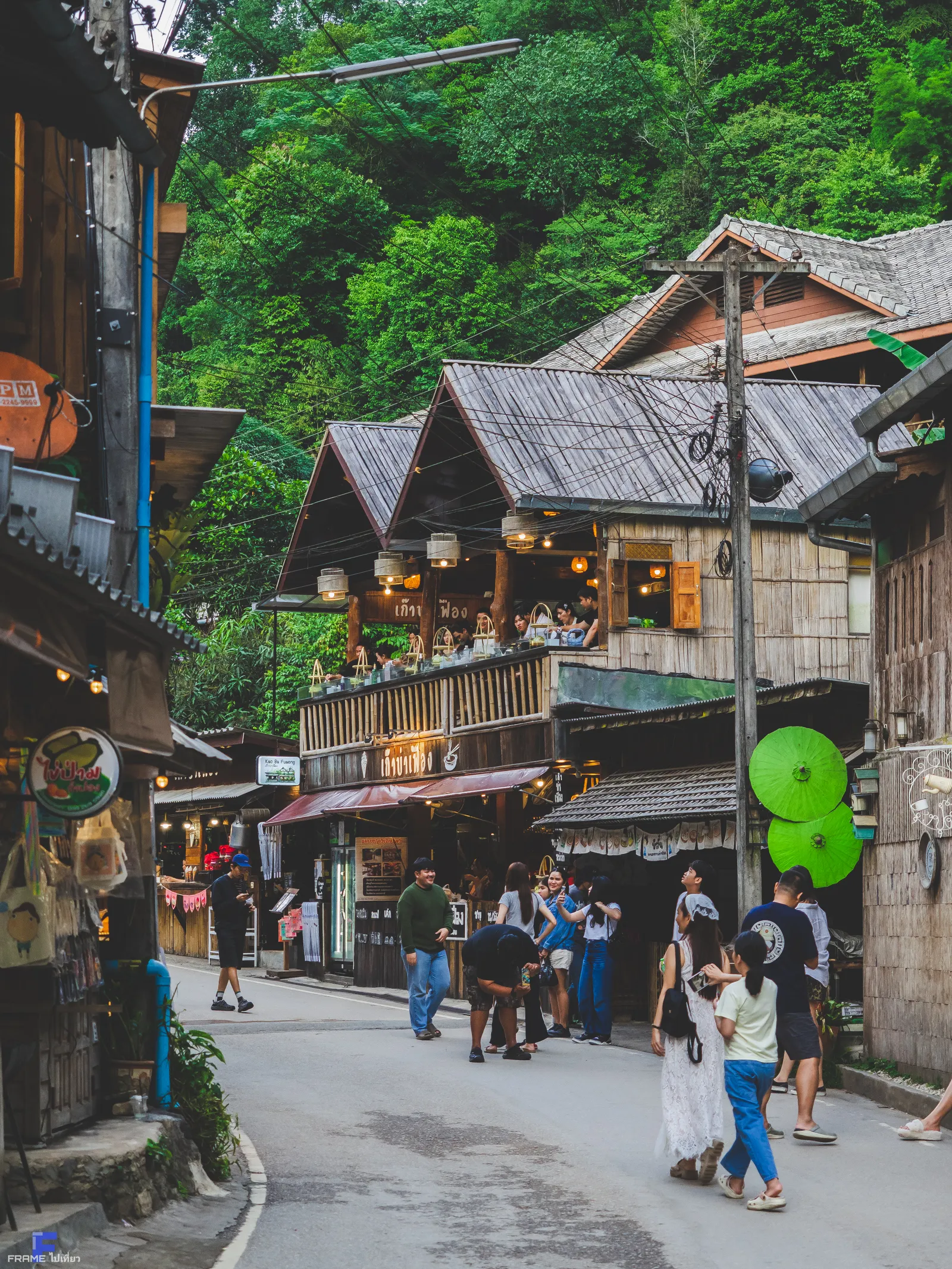
Mae Kampong Village · A mountain village · Mae On, Chiang Mai
A centuries-old Lanna village sitting at 1,300 m above sea level, surrounded by highland tea, coffee, and misty morning clouds.
Ratings and review counts synced from Google Maps user reviews · September 2026 · Click to view all Google Maps reviews ↗
About
Welcome to Mae Kampong Village (หมู่บ้านแม่กำปอง), widely recognized as the central Mae Kampong. Located in the mountains of Chiang Mai, Chiang Mai Province, Thailand, this destination serves as a primary hub for travelers visiting the region.
Mae Kampong is an old Lanna village set in a valley of Huai Kaeo, Mae On District, Chiang Mai Province, at about 1,300 m above sea level — cool year-round, with misty mornings.
The village is surrounded by rich pine and mountain forest, with highland strawberries, tea, cocoa and coffee, plus the Mae Kampong Waterfall flowing through the village. Community life is simple and in tune with nature.
Since the late 1990s, the village has developed Community-Based Tourism (CBT). Homestays and guides are fully run by villagers, with revenue feeding directly back into forest conservation, local healthcare, and education. Every step you take here supports the sustainable future of this centuries-old village.
““When white mist rolls into the valley, the mountains become islands in a sea of clouds.””
Mae Kampong suits nature lovers and slow-travelers. Arrive at dawn for the finest mist.
Plan your visit →Ecosystem
““The sea of clouds is no accident — it comes from temperature, humid air, and monsoon winds lifting moisture onto the hills.””
At over 1,300 m, Mae Kampong stays cool, damp and fresh all year. These forests host plants and animals adapted to moisture and mist.
Lower to the east, dew condenses into thick morning mist
The highest points catch cool winds and the widest sea of clouds
Wooden verandas in the shade are perfect for tea with a view of the mist
The high-mountain nature is fragile — please follow Leave No Trace principles
If you're ready to follow these, please tick ✓
Thank you for being a protector of the Mae Kampong forest!
Small tips to help you travel safely and protect nature
🗓 Dawn can be very cold, below 15°C
🗓 Trails are damp at dawn and can be slippery
🗓 Take all your litter back with you
History
Lanna pioneers migrated from Chiang Saen and the Khun River area, settling along the Mae Kampong stream. They terraced rice fields and gathered forest products, naming the village after the stream that sustained them.
What is Miang? It is a traditional Lanna fermented tea made from large tea leaves, chewed by locals for energy. Before modern tourism, gathering and fermenting Miang was the primary industry and the most important economic lifeline for Mae Kampong.
For centuries, villagers made a living gathering wild tea leaves to make Miang (Lanna fermented tea). Later, inspired by King Bhumibol's initiative, the Teen Tok Royal Project Development Center introduced cool-climate crops — oolong tea and Arabica coffee — replacing slash-and-burn farming and letting the forest recover.
The village structured its community tourism, winning Thailand Tourism Awards and becoming a model for CBT in Thailand. The core lies in the 'Community Cooperative Model' — tourism revenue is not just for individuals, but is distributed to community funds, forest fire prevention teams, and pension funds, truly achieving sustainable ecological and economic development.
The village keeps a Lanna rhythm through the year. Cool season (Nov–Feb) brings the famous sea of clouds and the homestay high season, with Loy Krathong and New Year merit-making at the stream shrine. Each year households still leave offerings of flowers and incense to the stream spirit for rain and calm.
Locals say that on calm mornings the mist rolls into the valley until it becomes a 'sea of clouds', and they believe that those who arrive at dawn will find a rare peace. They also believe the Mae Kampong stream is guarded by a village spirit, and on festival days and at the start of the rainy season leave flowers and incense at the water's edge to ask for rain and calm.
At over 1,300 m, Mae Kampong is several degrees cooler than Chiang Mai — still fresh even in summer.
The tale says that birds flying across the sea of clouds bring good news to those who wake early to watch the dawn.
The village has a small shrine where locals and visitors light incense to pray for safety before exploring nature.
Visitor Guide
Get ready for the best moments on the mountain — from transport and the best time to visit, to safety advice.
The village splits into spots suited to different activities
DifficultyEasy
Best for All ages / families
Walk among wooden houses, tea farms and community life — gentle and friendly
DifficultyEasy
Best for Light hikers
A 7-tier waterfall about 1 km from the village, with a nature trail
DifficultyModerate
Best for Photographers
About 3 km from the village, located within Chae Son National Park on the border of Chiang Mai and Lampang. At 1,517 m, it offers a 360° sea of clouds at dawn
Park only in designated areas and pay the community waterfall fee at the posted rate.
Village open all day · Waterfall 08:00–17:00
Light and mist keep changing — these spots and times are worth watching
Each season gives Mae Kampong a different charm
Cold weather, the thickest and widest mist — best for the sea of clouds
Lush green forest and full waterfalls, but slippery trails
Warm days but cool nights, light mist, and possible smoke haze in Mar–Apr
From late rainy to early dry season there may be smoke haze from burning — check air quality before you travel.
From late rainy to early dry season there may be smoke haze from burning — check air quality before you travel.
Keep these numbers handy for emergencies on the mountain
Mae Kampong tries to welcome all visitors
Mae Kampong Village is located in Huai Kaeo, Mae On District, Chiang Mai Province, Thailand (postal code 50130), about a 1–1.5 hour drive east of Chiang Mai city.
Yes, Mae Kampong Village is a public village and is free to visit year-round; only the community waterfall charges a small maintenance fee.
About a 1–1.5 hour drive, east of Chiang Mai.
At dawn 06:00–08:00, especially in the cool season (Nov–Feb).
The village is free; the waterfall charges a small community fee — bring cash.
Yes — several community homestays; booking ahead is recommended.
Most trails are short and flat, good for all ages, but watch for slipperiness at dawn.
Highland oolong tea and Arabica coffee, the seven-tier Mae Kampong Waterfall, community homestays and the dawn 'sea of clouds' rolling over the valley.
Yes. Open-air parking lots sit at the village entrance and along the main lane, and public restrooms are available near the car park and at the waterfall entrance. Homestays and tea houses also let visitors use their facilities.
No. There is no fuel station and no public EV charger in Mae Kampong. Refuel or recharge in San Kamphaeng or Mae On before the mountain climb.
The first two hours after sunrise. That is when the valley fills with mist, the light on the tea terraces is softest, and the village is still quiet.
Weather
At about 1,300 m the village stays several degrees cooler than Chiang Mai. Check conditions before the climb — and keep a warm layer for dawn.
No weather warning right now — you can follow your plan.
Estimated from humidity, cloud cover and wind at dawn.
The advice combines the mountain-specific factors: ridge gusts, visibility, the temperature drop with altitude, and how quickly the stream can rise.
Mountain weather changes fast; treat the forecast as a guide rather than a promise.
Visitor services
Mae Kampong is a living village rather than a ticketed attraction. Facilities are simple and community-run, so the list below describes the type of service to expect — never a specific shop.
Type: Public / community
Toilets are available near the village car park and by the waterfall entrance; homestays and tea houses also let visitors use theirs.
Carry your own tissue and some small change.
Type: Open-air village lots
Several open-air lots sit at the village entrance and along the main lane. They fill quickly on cool-season weekends.
Arrive before 09:00, or park lower down and walk in.
Type: Small local kitchens
Family kitchens and tea houses serve Northern Thai dishes, highland oolong tea and village-roasted coffee, mostly from morning to late afternoon.
Kitchens close early — eat before 18:00 if you are not staying overnight.
Type: Community homestays
Homestays are private homes registered with the village cooperative: simple rooms, shared bathrooms, blankets and mosquito nets.
Book ahead for weekends and the November–February high season.
Type: Village shops
Small shops stock drinks, snacks and daily necessities. For a full supermarket or pharmacy, stop in Mae On or San Kamphaeng on the way up.
Bring any regular medication with you.
Type: Outside the village
There is no fuel station or public EV charger inside the village. Refuel or recharge in San Kamphaeng or Mae On before the climb.
The last stretch is a winding mountain road — start with a full tank or generous range.
Type: Basic only
The village can handle basic first aid; the nearest clinic and hospital are in Mae On and Chiang Mai.
Save the emergency numbers listed in the visitor guide section.
Type: Patchy signal, cash first
Mobile data works but is uneven in the valley, and card payment is not always accepted.
Withdraw cash in Chiang Mai or Mae On before you arrive.
This is an independent, non-profit guide: we describe facility types only and never promote or take commission from an individual business.
Trip planner
Four quarters, four different mountains. Match the season to what you want to see, then choose a route that fits your travel party.
A combined read of mountain weather, stream flow and seasonal wildlife activity, based on long-term climate normals (30-year averages) for the Chiang Mai highlands.
| Quarter | Weather | Stream & trails | Wildlife & plants | Good for |
|---|---|---|---|---|
| Nov – Feb · cool | 13–25 °C, clearest skies, coldest dawns around 8–12 °C | Lower flow; the falls run clear and calm | Birds and butterflies most active in the morning; winter flowers bloom | Sea of clouds, photography, first visits |
| Mar – May · hot | 18–32 °C, hazy days from regional agricultural burning | Streams at their lowest; upper tiers may reduce to a trickle | Fewer butterflies; fruiting trees draw birds at dawn | Quiet village walks, tea harvesting |
| Jun – Oct · rainy | 19–27 °C, afternoon downpours, mist on most mornings | Fullest flow and the most dramatic falls, but slippery trails | Frogs, insects and fungi peak; moss and ferns at their greenest | Waterfall scenery, forest ecology, few crowds |
| Year-round | Roughly 5–8 °C cooler than Chiang Mai city | The Mae Kampong stream flows all year from the watershed forest | Dawn is always the best window for birds and for mist | Slow travel, community homestays |
Short, gentle walking with plenty of places to stop for snacks and tea.
Built around dawn light, mist and the geometry of the tea terraces.
Minimal walking on the flattest ground, with the village itself as the main attraction.
Food & Drink
The Mae Kampong experience blends Lanna culture with highland tea, coffee and simple local food.
A Northern classic: egg noodles in coconut curry, simmered with highland spring water and local herbs
Herbed pork sausage spiced with wild highland peppercorns, eaten with chili paste
Tea and coffee from the village's highland farms
Thai sweets made with young coconut, perfect for slow living
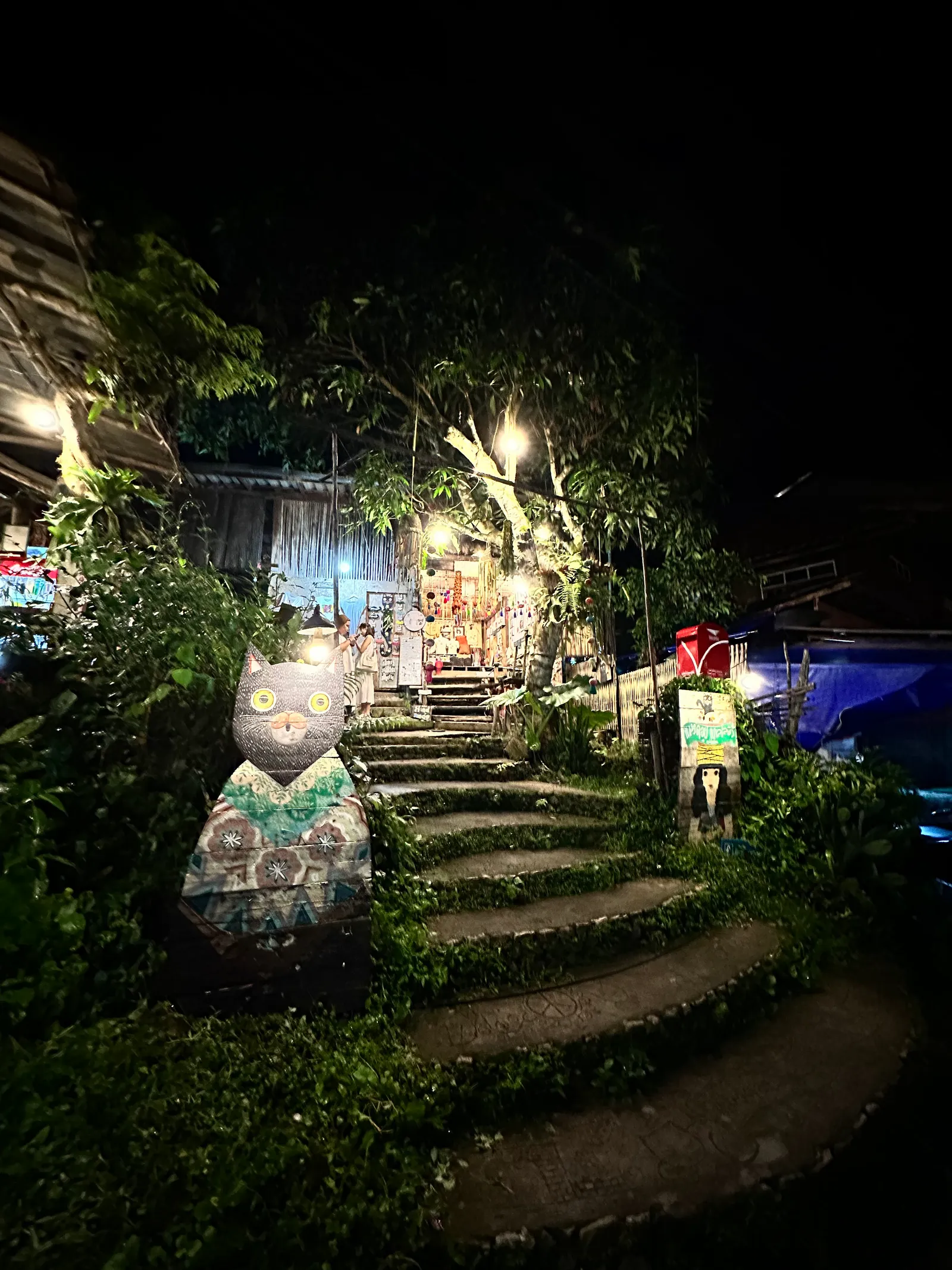
““Sipping hot tea among the sea of clouds — that is the Lanna art of slowing down.””
Nearby landmarks
When visiting Mae Kampong Village, visitors can easily explore surrounding historical landmarks and points of interest, including Mae Kampong Waterfall and San Kamphaeng Hot Springs.
A seven-tier waterfall about 1 km from the village, reached by a community nature trail.
View on Google Maps →
Natural hot springs on the San Kamphaeng → Mae On road, an easy stop on the way up.
View on Google Maps →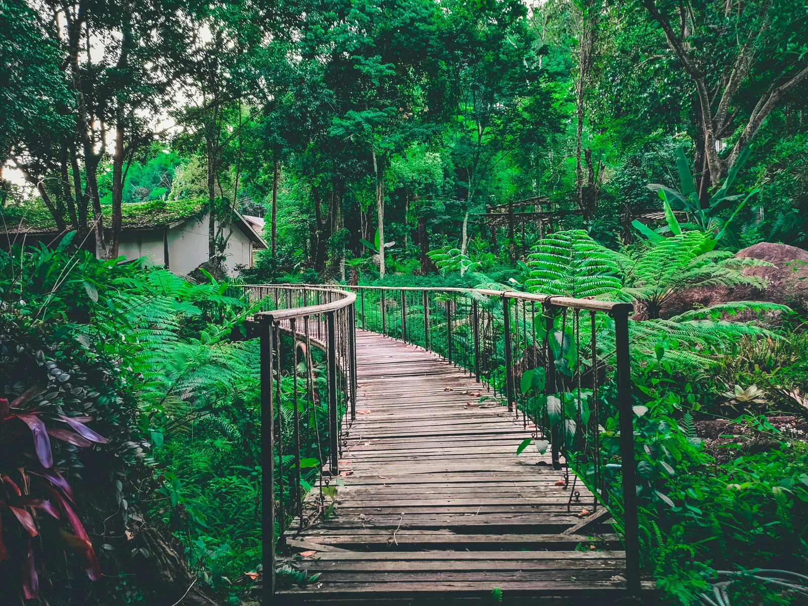
A 1,517 m viewpoint inside Chae Son National Park with a 360° sea of clouds at dawn.
View on Google Maps →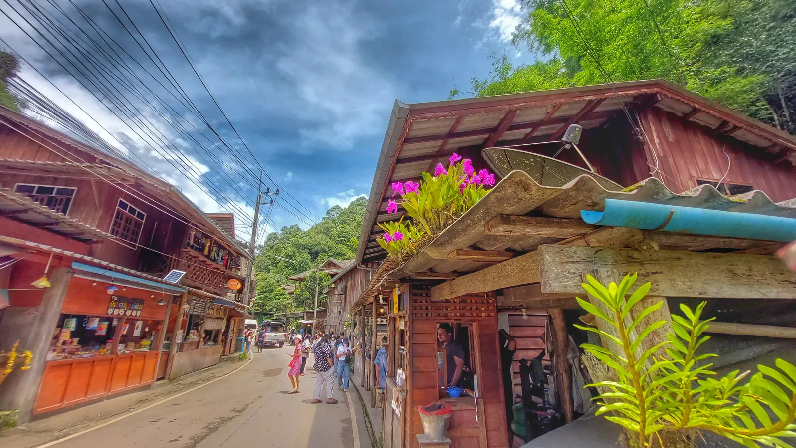
The provincial capital — old city temples, Doi Suthep and night markets, 1–1.5 hours away.
View on Google Maps →For official updates and regional tourism information, visit Thailand / Chiang Mai Official Tourism Portal .
Gallery
Mist, mountains and valley life captured at different times of day.
All images show the real scenery of Mae Kampong Village.
Photos: visitors and the local community.
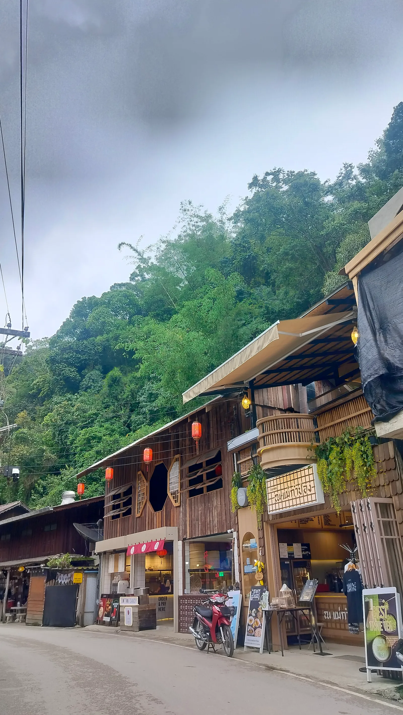
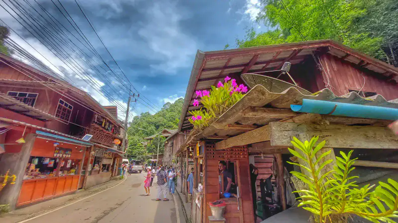
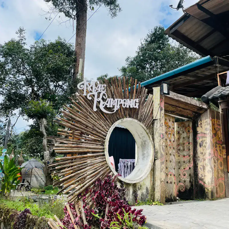
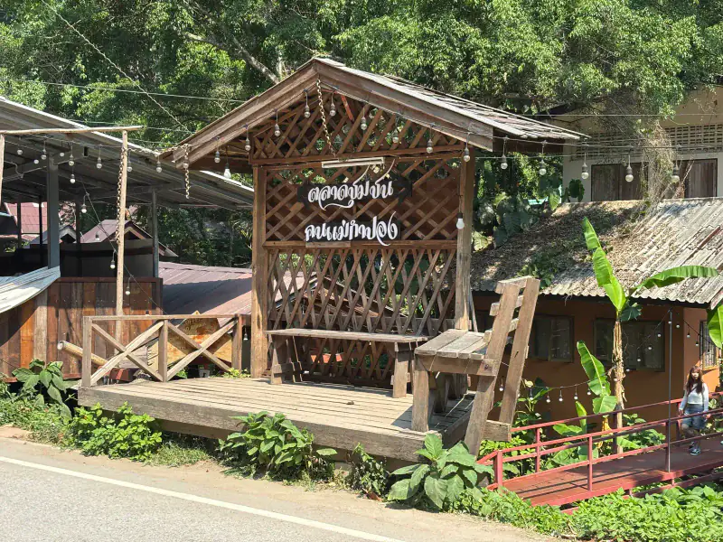
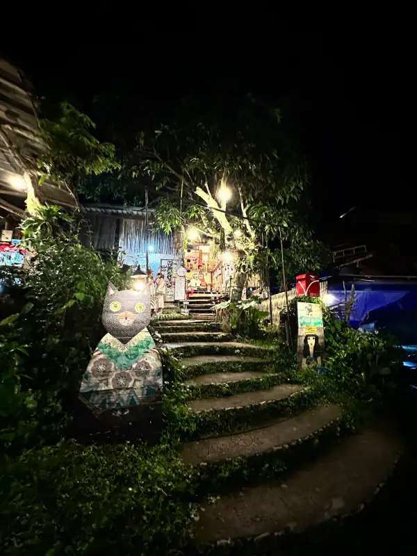
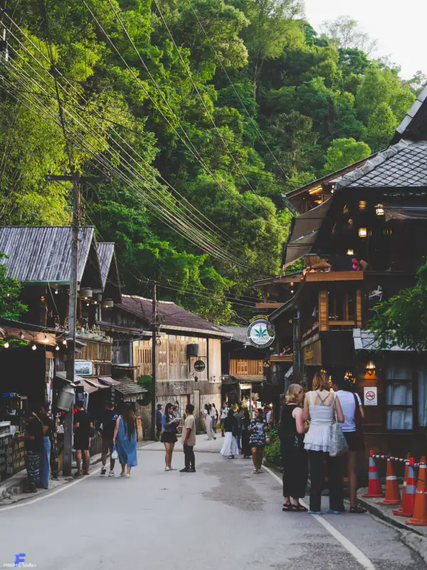
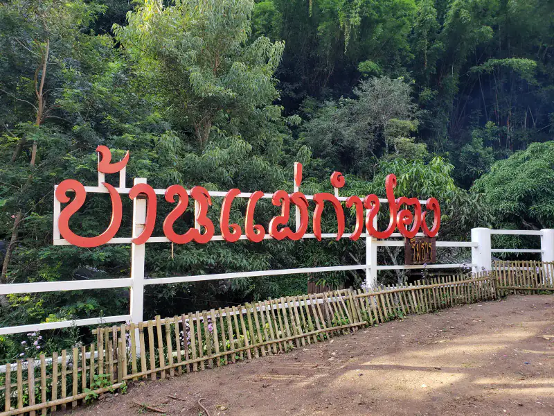
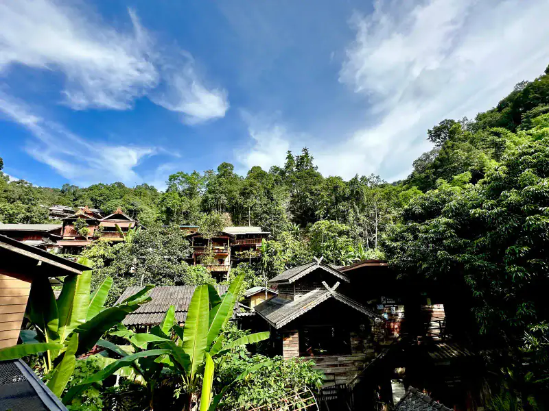
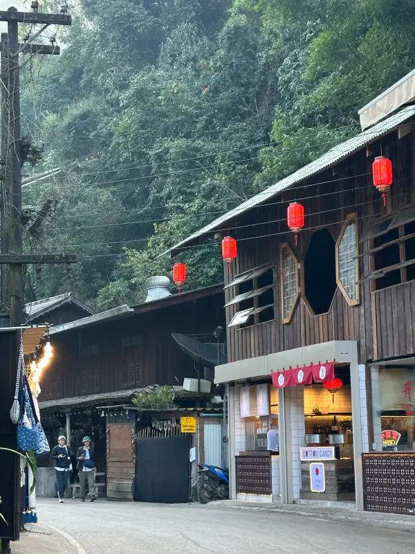
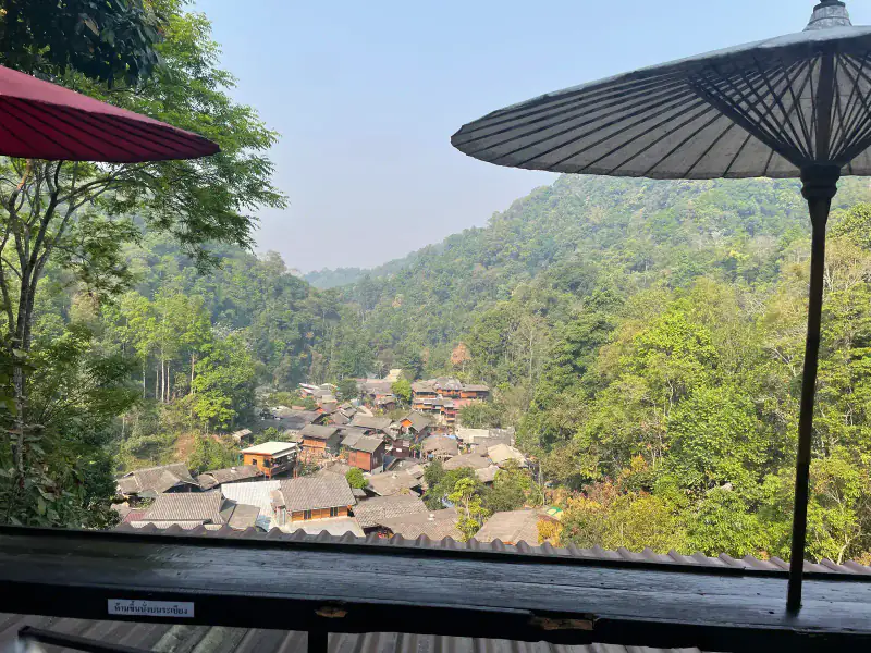
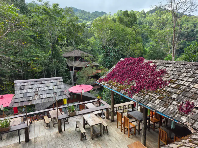
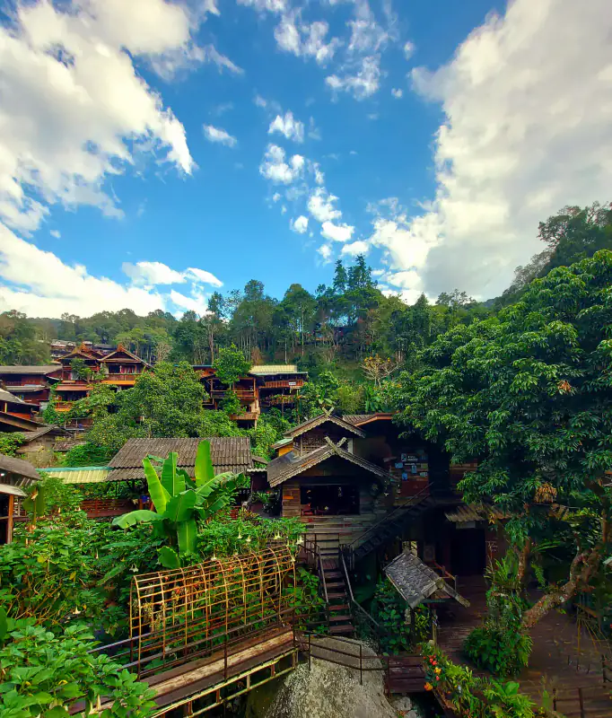
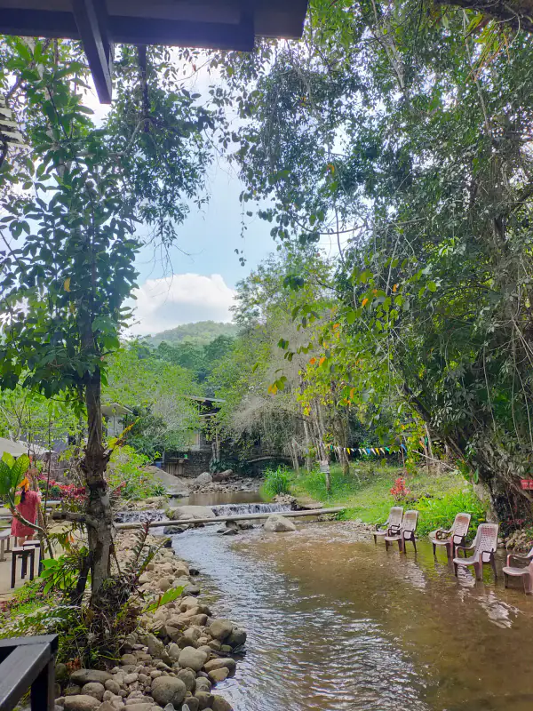
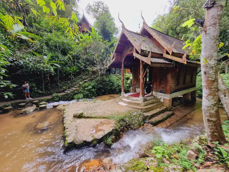
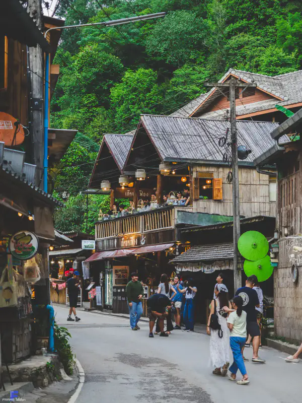
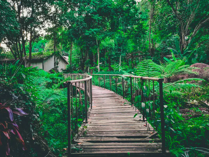
Image rights: all images shown on this site remain the property and copyright of their original photographers.
Science & responsibility
The mist, the cool air and the tea on the hillsides are all connected. Four short explanations for curious visitors.
On clear, windless nights the ground loses heat by radiation. Cold air is heavier, so it slides down the slopes and pools in the valley. Once the air near the ground cools to its dew point, water vapour condenses into tiny droplets — fog. Seen from a ridge above, that fog is exactly what visitors call a sea of clouds.
Air temperature falls by roughly 6.5 °C for every 1,000 m of altitude. Mae Kampong sits at about 1,300 m while Chiang Mai city is near 300 m, which is why the village is typically 5–8 °C cooler — and why dawns feel genuinely cold.
The Mae Kampong stream is fed by rainfall captured in the watershed forest above the village. Moss, leaf litter and tree roots slow the water down and release it gradually through the year rather than in one runoff surge. Protecting that forest is what keeps the village water supply stable.
Villagers once relied on Miang — tea leaves fermented and chewed — alongside shifting cultivation. High-value cool-climate crops introduced with royal project support gave households an alternative that keeps trees on the hillside, and community-based tourism gave visitors a reason to keep the forest standing.
Reviews
A collection of voices from people who have visited Mae Kampong Village.
Ratings and review counts synced from Google Maps user reviews · September 2026 · Click to view all Google Maps reviews ↗
Synced from Google Maps user reviews, synced September 2026; copyright belongs to the original authors and Google Maps.
Dec, the mist was very thick and the photos turned out amazing
Woke at 5am, no regrets — the golden light was beautiful
The hilltop café was great and the air was cool and fresh
A real 360° — beautiful in every direction
Winding climb but easy to drive, watch the mist
Stayed in a homestay, woke to mist — highly recommend
Up there they have tea and snacks with a great view
The white-mist tones are beautiful — arrive before dawn
Brought the kids, trails are short but watch the slipperiness
Quieter and calmer than elsewhere — great for relaxing
Very cold — don't forget a warm jacket
Waterfall entry is cheap and the view is well worth it
Sources
Information on this site is compiled from tourism authorities and openly available references, for learning and conservation.
Weather from Open-Meteo; scores from Google reviews; location per GPS coordinates and Plus Code.
Reviews · synced September 2026 · 6,102 · ★ 4.5
Synced from Google Maps user reviews, synced September 2026; copyright belongs to the original authors and Google Maps.
View all reviews on Google Maps ↗Image rights: all images shown on this site remain the property and copyright of their original photographers.
If you find any inaccuracy or want to add information, please contact us via the email below.
Send correction© 2026 Mae Kampong Village
Map
The village is in Huai Kaeo, Mae On District, Chiang Mai. Use the coordinates below for navigation.
📍 V982+695, Huai Kaeo, Mae On District, Chiang Mai 50130, Thailand
🧭 V982+695 (Huai Kaeo, Mae On)
🌐 18.8642°N, 99.3498°E (elevation ≈ 1,300 m)
For official updates and regional tourism information, visit Thailand / Chiang Mai Official Tourism Portal .
Mae Kampong Village · Google Maps ↗